Maps & GIS
Pages
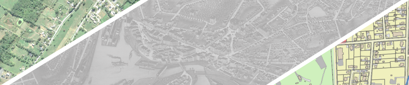
Using a Geographic Information System (GIS), SCCOG performs mapping in support of local and regional projects. Since 2010, SCCOG has hosted an online parcel viewer with property information from its member municipalities. The user-friendly parcel viewer offers different layers and overlay themes and is valuable to local governments and land use agencies, property owners, and realtors. Recently, the viewer was enhanced with a map and survey search tool, linking parcels to over 60,000 filed map and survey documents, available by contacting local Town Clerks.
SCCOG parcel data is now available for download from the Connecticut Office of Policy and Management (CT OPM).