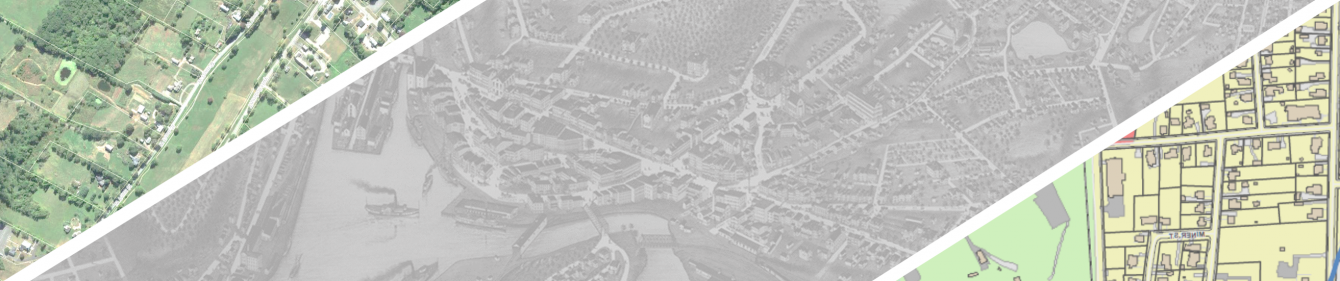
GIS Viewer
Welcome to the Southeastern Connecticut Council of Governments’ (SCCOG) Geographic Information System (GIS). This interactive tool provides access to regional maps, geographically referenced property information, and other geographic data.
SCCOG parcel data is now available for download from the Connecticut Office of Policy and Management (CT OPM).
Access the SCCOG Parcel Viewer
The SCCOG GIS Department has launched a new, updated version of the regional Parcel Viewer. We would greatly appreciate our visitors to go to the new parcel viewer and give us any feedback to help us improve the application and deliver a better experience. Comments can be entered in the survey form within the application or sent directly to gis@seccog.org.
Disclaimer
To begin using the GIS interface, please confirm that you have read and understand the terms and conditions stated below.
- The Southeastern Connecticut Council of Governments does not make any warranty, expressed or implied, and does not assume any legal liability or responsibility for the accuracy, completeness, or usefulness of the Geographic Information System data provided herein.
- Areas depicted by this system are approximate, are for illustration purposes only and do not take the place of a professional survey. The data are not necessarily accurate to mapping, survey, or engineering standards. Areas depicted by this system are not suitable for site-specific decision-making and have no legal bearing on the true shape, size, location, or existence of a geographic feature, property line, or political boundary line representation.
- The Southeastern Connecticut Council of Governments requests that any use of this information be accompanied by (1) a reference to its source and (2) a caveat that the source makes no warranties or representations as to the accuracy or completeness of said information. Any use of this information is at the recipients own risk.